Sir Winston Churchill wrote it first in 1908, after traveling by rail from Mombasa to the shores of Lake Victoria. He called Uganda the pearl of Africa, and the name stuck because the country backed it up. Within a landmass smaller than the state of Oregon, you’ll find snow-capped mountains above 5,000 meters, equatorial rainforest older than the last ice age, open savannah teeming with big cats, and the source of the longest river on Earth. That’s not a tourism slogan. It’s geography.
But what actually earns that title today, more than a century later? The answer has less to do with Churchill and more to do with what you encounter on the ground: biological density that rivals anywhere on the continent, community-rooted tourism that sends money directly to the people who live here, and a concentration of landscapes that most countries would need ten times the territory to match.
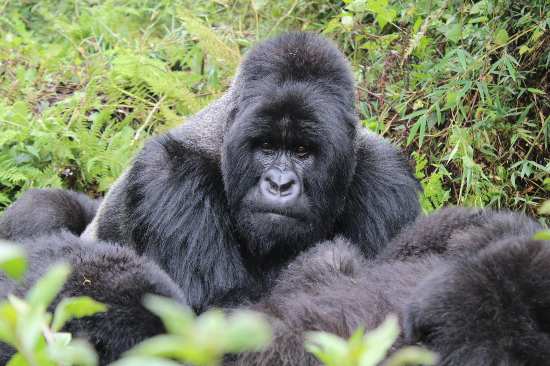
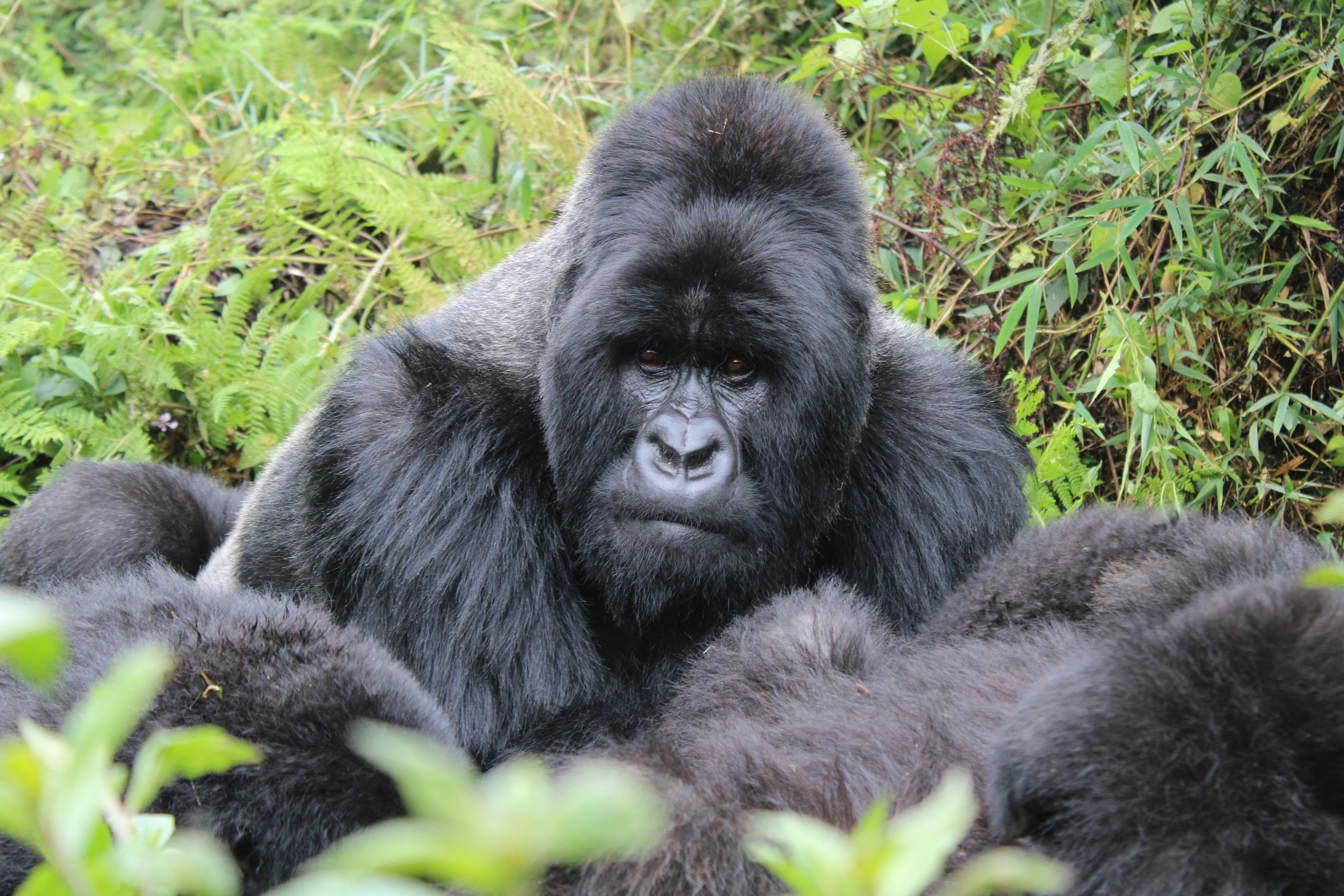
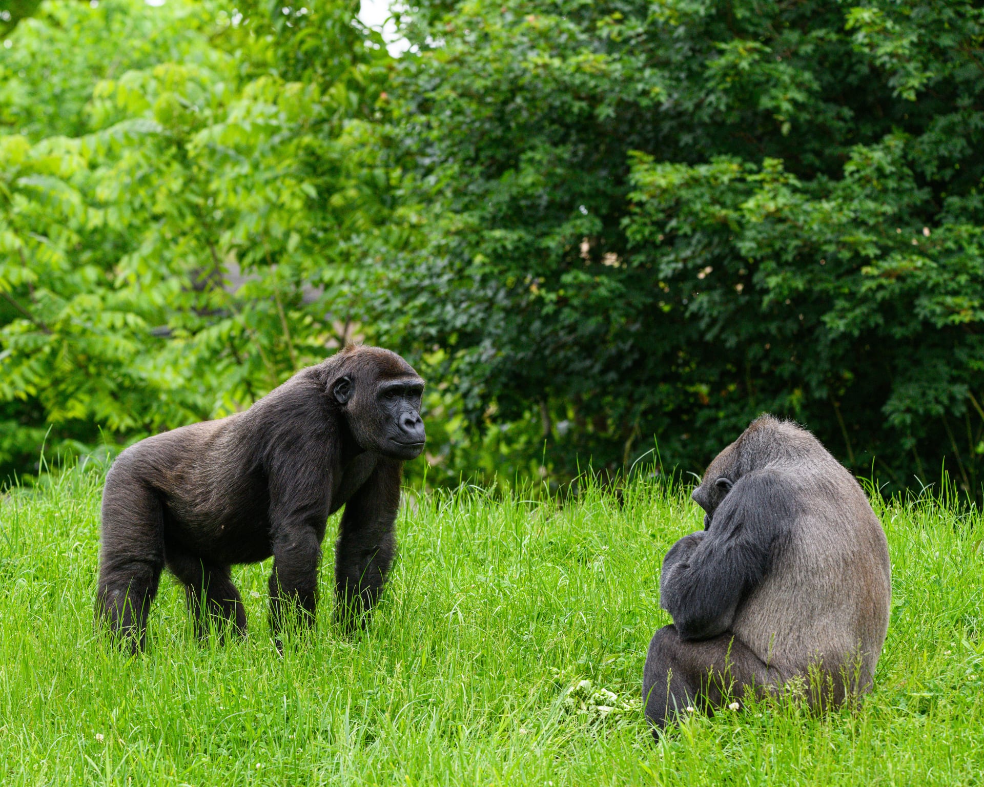
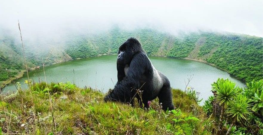
Bwindi Impenetrable National Park, a UNESCO World Heritage Site in southwestern Uganda, spans over 321 square kilometers of dense montane rainforest. It shelters roughly half of the world’s critically endangered mountain gorillas, a population estimated at around 459 individuals within this single park. The forest canopy rises so thick in places that sunlight barely reaches the ground, and the air carries the smell of damp earth, rotting bark, and moss.
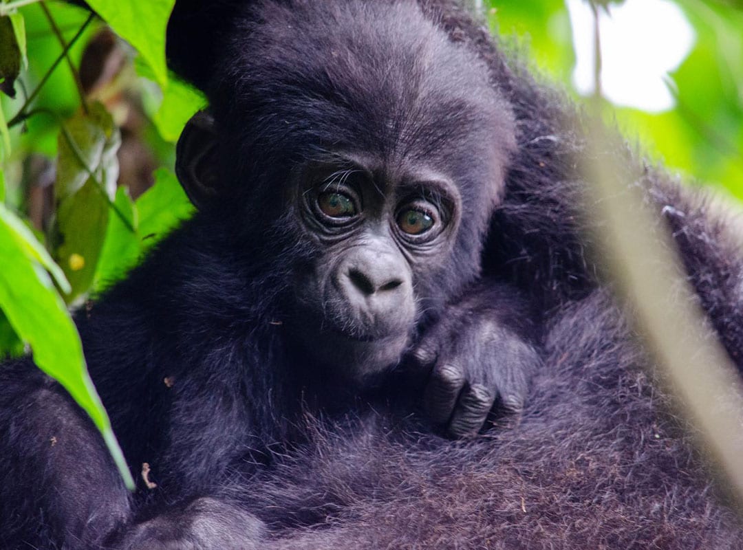
Gorilla trekking here isn’t a zoo visit. You hike, sometimes for four or five hours, through terrain that earns the word “impenetrable.” The undergrowth grabs your ankles. And then you’re sitting maybe seven meters from a silverback who weighs twice what you do, watching him strip bamboo with his teeth while an infant rolls across his back. I think that single hour (the Uganda Wildlife Authority limits each visit to 60 minutes) is the reason most people come to this country in the first place.
Beyond gorillas, Bwindi hosts over 120 mammal species, more than 350 bird species, and at least 220 butterfly species. The biodiversity per square kilometer is among the highest in Africa. Baheka Travel runs trips that include internal flights to cut down on road time.
Uganda sits at the headwaters of the White Nile, which begins its 6,650-kilometer journey to the Mediterranean at Jinja, on the northern shore of Lake Victoria. Lake Victoria itself, the largest lake in Africa by surface area at roughly 68,800 square kilometers, forms Uganda’s entire southern border. That’s a lot of freshwater for a landlocked country.
The Nile’s exit point at Jinja is dramatic. You can stand on the bank and watch the current pull hard northward, knowing it won’t stop until Egypt. Upstream, Murchison Falls forces the entire volume of the Nile through a gap less than 7 meters wide before dropping 43 meters into a roiling pool below. The sound is constant, a low roar you feel in your chest before you see the falls.
Water shapes daily life here, not just the scenery. Lake Bunyonyi, at an elevation of about 1,962 meters in the southwest, is one of the deepest lakes in Africa and free of bilharzia, which makes it one of the few places in the region where you can swim safely. Baheka Travel includes Lake Bunyonyi in several of their Uganda safari itineraries, and honestly, a couple of nights there after the physical demands of gorilla trekking is exactly the right pace.
Most of Uganda sits between 1,000 and 1,300 meters above sea level, which keeps temperatures moderate year-round, typically between 25°C and 29°C in the lowlands and cooler in the highlands. But elevation changes are extreme. The Rwenzori Mountains, sometimes called the Mountains of the Moon, reach 5,109 meters at Margherita Peak, where
 Powered by TypeHero
Queen Elizabeth National Park: What Every Visitor Should Know Before Going
Why Uganda Is Called the Pearl of Africa
Ecotourism in Uganda: What Community-Owned Travel Looks Like on the Ground
Community-Owned Tourism in Kabale: How Your Booking Funds Local Development
Uganda Safari Guides and Game Drive Value: What to Know for 2026
Gorilla Tracking Safaris in Kabale: What 2026 Travelers Need to Know